The Formina Hiking Trail is a itinerary among history and nature which retrace back, from Narni to Sant’Urbano, the trace of the ancient Roman Aqueduct of Formina on a street probably traveled by Francesco which often used to find peace in the Speco of Sant’Urbano.
The ancient Roman Aqueduct Formina Hiking Trail.
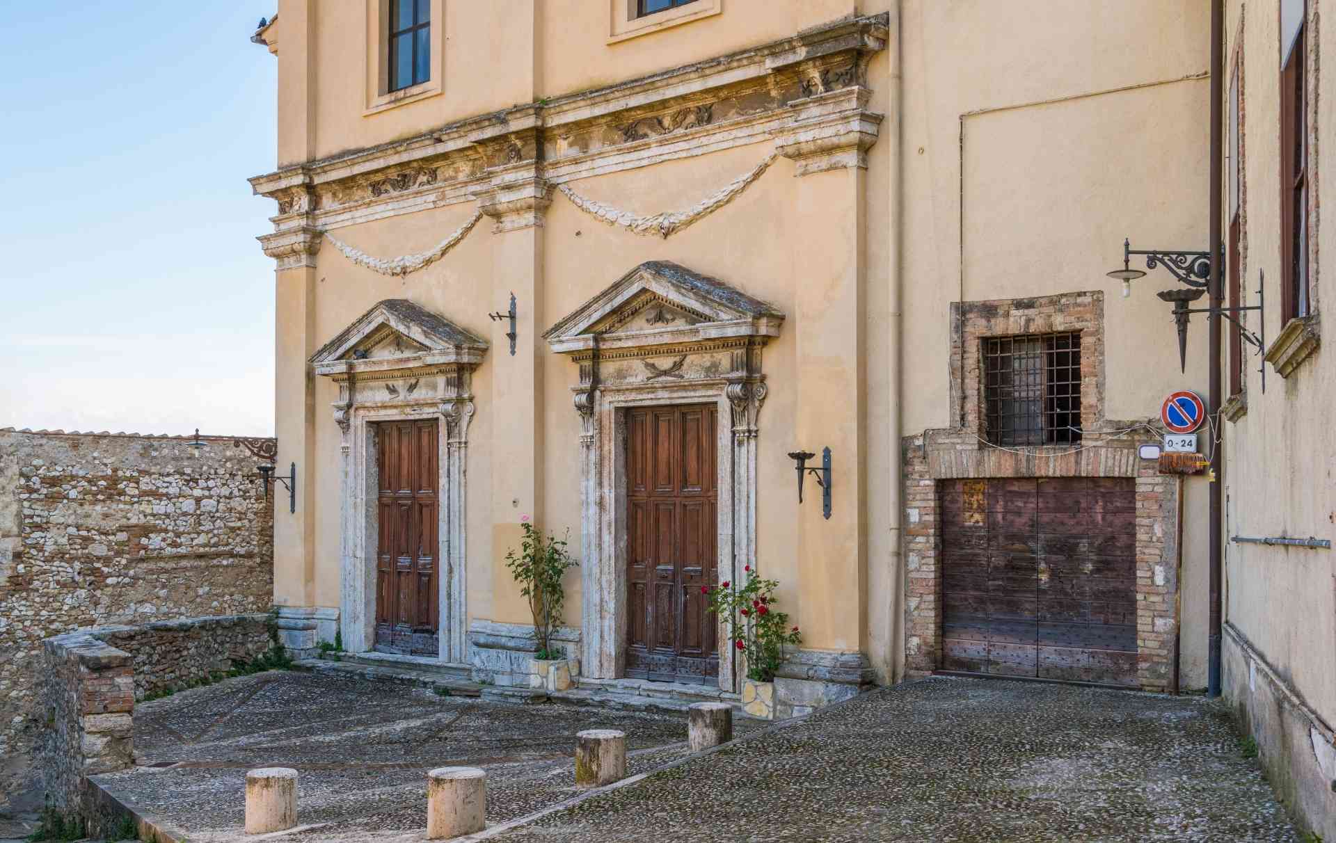
The hike starts in the place where the aqueduct entered in Narni – nearby the Church Santa Margherita at the end of Via Cocceio Nerva. From there you can go towards the former convent of the Cappuccino Nuovi, today’s transformed into a Moorish residence and, passing the entrance gate you go downhill along the perimeter of the wall to take the itinerary.
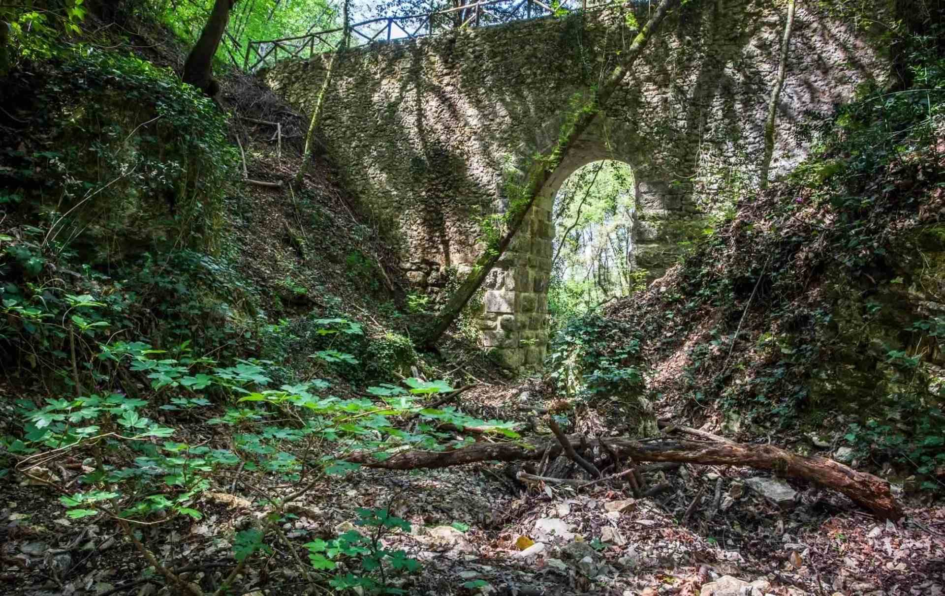
At 2,5 kilometres from the departures you arrive at the splendid Cardona Bridge – nearby of the Geographic Center of Italy – along a path where you meet the vents and the wells of the access of the aqueduct.
At 3,9 kilometres , past some rocks and a trail which cut the itinerary, you arrive at the provincial street Narni – S.Urbano (SP20) to take to the right.
At 4,3 kilometres you meet the old bridge and at 4,9 kilometres you meet the Nuovo Bridge.
At 6,9 kilometres – 50 kilometres before the sign of the sixth kilometres of the provincial street you go down on the left to a path in a field from which you go inside again a woods to take again the path on the opposite side.
At 7,2 kilometres, exited from the woods and passing a barrier to avoid the transit of the vehicles, you enter a field with olive trees and a well.
At about 7,5 kilomteres is visible the structure which protects the exit of the tunnel of the Ippolito mountain – from here , going up on the first dirt road to the left you arrive in a lawn with secular oaks.
At 7,8 kilometres you arrive at the asphalt street and you turn right, after 80 meters you go down on a mule track in the woods.
At 8,4 kilomteres at the first junction you take on the right until a ditch where there is the entrance of the tunnel of the mountain Ippolito. Following the road you arrive at a junction with a road which goes up on the right.
At 8,8 kilomteres you arrive in I Simeoni location and the path continues , passed 150 meter you enter a street which goes down on the right.
At 9,1 kilometres a big oak sign marked the place of one of the wells of the aqueducts and at 9,6 kilometres you meet a dirt street that must be followed on the left.
At 10,8 kilometres you pass on the Pennina bridge – the last of the fourth bridges – and you turn left before the old pumping station of the village of Itieli;
At 11,2 kilometres you arrive in a field from where , on the opposite side, you take a country road uphill and at 11,4 kilomteres there is the exit of the gallery of San Biagio.
At 11,6 kilometres you reach the municipality street of Castelvecchio and at 12,2 kilometres , after a passage on a dirt road and a little wood there is a moat to follow on the right edge.
At 12,4 kilometres you cross a country road which leads on an olive trees field and at 12,5 kilometers there are the works of taking the aqueduct now used to power the above Sant’Urbano.
At 13,1 kilometres you reach, after a steep climb , there is the hamlet which preserves the spring of the aqueduct.
What to do.
Discover the proposals of itineraries, trails and walking routes in Narni and its territory.
Or find out what to do and what to see in Narni.
Discover Narni.
Discover the points of interest of Narni and of its territory: